

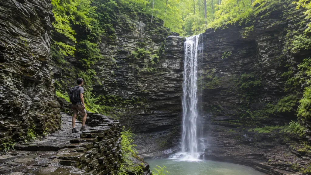
Eighteen waterfall hikes across the United States, every number pulled from the agency that runs the park. Most waterfall lists recycle heights and distances nobody can trace; this one only includes a fall when the National Park Service or the state park system publishes the figure, which is also why some famous names are missing and some regions run deeper than others. What survives that filter is a guide you can actually plan a trip around.
Two honest notes before the list. Coverage follows where official trail data exists: the Southeast and Mid-Atlantic run deep here, the Rockies get one entry and an explanation. And nothing on this page is a promise that a trail is open, waterfalls are seasonal creatures and parks close paths after storms, so the final word before you drive is always the park's own site.
One Link for Every Trail You Hike
A short address you control, pointing to your trail photos, hike logs and pages wherever they live.
Northeast: The Finger Lakes Gorges
The Northeast's signature is not one tall plunge but the gorge walk: trails cut into stone canyons passing fall after fall.
Taughannock Falls, Taughannock Falls State Park, New York. The fall plunges 215 ft (65 m), among the highest in the Northeast, between cliffs rising some 400 ft (120 m) above the gorge, and the gorge trail reaches the amphitheater in three quarters of a mile (1.2 km).
Lucifer Falls, Robert H. Treman State Park, New York. A 115 ft (35 m) fall on a gorge trail that passes twelve waterfalls in all, in a park threaded with hiking paths.
The Gorge Trail at Watkins Glen State Park, New York, packs 19 waterfalls into one mile (1.6 km), the stream dropping 400 ft (120 m) in two miles between 200 ft (60 m) cliffs. The gorge trail runs on a spring-to-fall season that changes each year, so check the park's page for this year's dates before going.
Southeast: Blue Ridge and the Smokies
Linville Falls, Blue Ridge Parkway, North Carolina. The water plunges 45 ft (14 m) over the lower falls, and the moderate Erwins View Trail, 1.6 mi (2.6 km) round trip, serves four overlooks along the way.
Crabtree Falls, Blue Ridge Parkway, North Carolina (a different fall from Virginia's Crabtree). A moderately strenuous 3 mi (4.8 km) loop with steep, rocky stretches descends 0.9 mi (1.4 km) to a fall pouring over a 60 ft (18 m) cliff.
Ramsey Cascades, Great Smoky Mountains National Park, Tennessee. The park calls it the tallest waterfall in the Smokies, earned the hard way: 8 mi (12.9 km) round trip with over 2,100 ft (640 m) of elevation gain. The same NPS page notes that the park's famous quartet, Abrams, Grotto, Laurel and Rainbow falls, are highly trafficked trails with limited parking that together see more than 200,000 visitors a year; go early or go elsewhere. Metro Atlanta hikers have a set of falls of their own within day-trip range, covered in our waterfall hikes near Atlanta guide.
Mid-Atlantic: Shenandoah's Skyline Drive Falls
Shenandoah National Park, Virginia, publishes the most complete trail data of any park in this guide, and its rule is refreshingly consistent: large waterfalls in every district, all reached from Skyline Drive, all downhill on the way in and uphill on the way back.
Dark Hollow Falls: a moderate 1.4 mi (2.3 km) circuit, about 1 hour 15 minutes, 440 ft (134 m) of gain, from mile 50.7. Pets are not permitted on this one.
Jones Run Falls: a 42 ft (13 m) fall on a moderate 3.2 mi (5.1 km) round trip, about 2 hours 30 minutes, 1,045 ft (319 m) of gain, from mile 84.1, with one stream crossing; leashed pets allowed.
Doyles River Falls: two falls, upper and lower, on a moderate 3.3 mi (5.3 km) round trip, about 2 hours 15 minutes, 1,189 ft (362 m) of gain, from mile 81.1; leashed pets allowed.
Midwest: Lake Superior Sandstone and Ohio
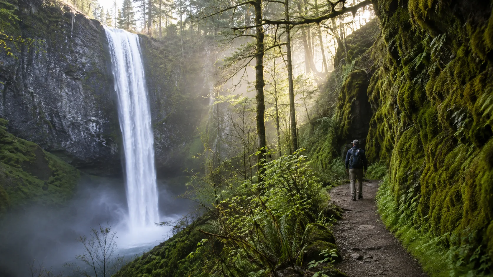
Miners Falls, Pictured Rocks National Lakeshore, Michigan. An easy, nearly flat 1.2 mi (1.9 km) round trip to a roughly 50 ft (15 m) fall the park calls its most powerful, most powerful, note, not tallest.
Chapel Falls, Pictured Rocks, Michigan. The park's hiking page lists an easy 2.5 mi (4 km) round trip along an old roadbed through maple forest to the 60 ft (18 m) fall. One caution from the same park: the popular Munising Falls trail is temporarily closed due to storm damage from April 2025, per the NPS, so leave it off the itinerary until the park says otherwise.
Brandywine Falls, Cuyahoga Valley National Park, Ohio. A 60 ft (18 m) fall reached by a partially accessible boardwalk, with the 1.5 mi (2.4 km) Brandywine Gorge Loop for legs that want more, open daily dawn to dusk.
Rockies: One Fall and an Honest Gap
Gibbon Falls, Yellowstone National Park, Wyoming, drops 84 ft (25.6 m) over a remnant of the Yellowstone caldera rim, born of an eruption roughly 631,000 years ago, and the viewpoint is wheelchair accessible. Honesty requires saying it plainly: this is a short walk from the road, a stop rather than a hike.
And the gap: Rocky Mountain and Glacier national parks publish no per-trail waterfall data we could verify, so their famous falls do not appear here with numbers. The Rockies' falls are also strongly snowmelt-driven, which makes the park websites, with their current conditions, the right planning tool for that region anyway.
West Coast: Yosemite's Giants
Bridalveil Fall, Yosemite National Park, California, called Pohono by the Southern Sierra Miwuk, plunges 620 ft (189 m) and is the first great fall you meet entering Yosemite Valley. Two gently graded paved routes reach it, 0.75 mi (1.2 km) and 0.5 mi (0.8 km), with a wheelchair-accessible viewing platform partway; beyond the platform the grade steepens and accessibility ends. Leashed pets allowed, and, rare among the giants, it flows all year.
Yosemite Falls, upper fall, middle cascades and lower fall together, drops a combined 2,425 ft (740 m), one of the tallest waterfalls in North America. It peaks in late spring at some 2,400 gallons (9,085 liters) per second, is fed entirely by snowmelt, and, the fact every planner needs, frequently runs dry by late summer. The easy Lower Yosemite Fall loop is 1 mi (1.6 km) with 50 ft (15 m) of gain; the full Yosemite Falls Trail is a strenuous 7.2 mi (11.6 km) with 2,700 ft (825 m) of gain. The Bridalveil-versus-Yosemite contrast is the single most useful planning fact in this guide: one flows always, the other is a spring spectacle.
Pacific Northwest: Rainier and Silver Falls Country
Comet Falls, Mount Rainier National Park, Washington. One of the tallest falls in the park, reached by a steady 3.8 mi (6.1 km) round trip with 900 ft (274 m) of gain, about 3 hours, from a trailhead 4 miles (6.4 km) east of Longmire.
Silver Falls Trail, also Mount Rainier, Washington (not to be confused with Oregon's park of the same name). A 3 mi (4.8 km) round trip in the Ohanapecosh area, where the river runs full with spring snowmelt.
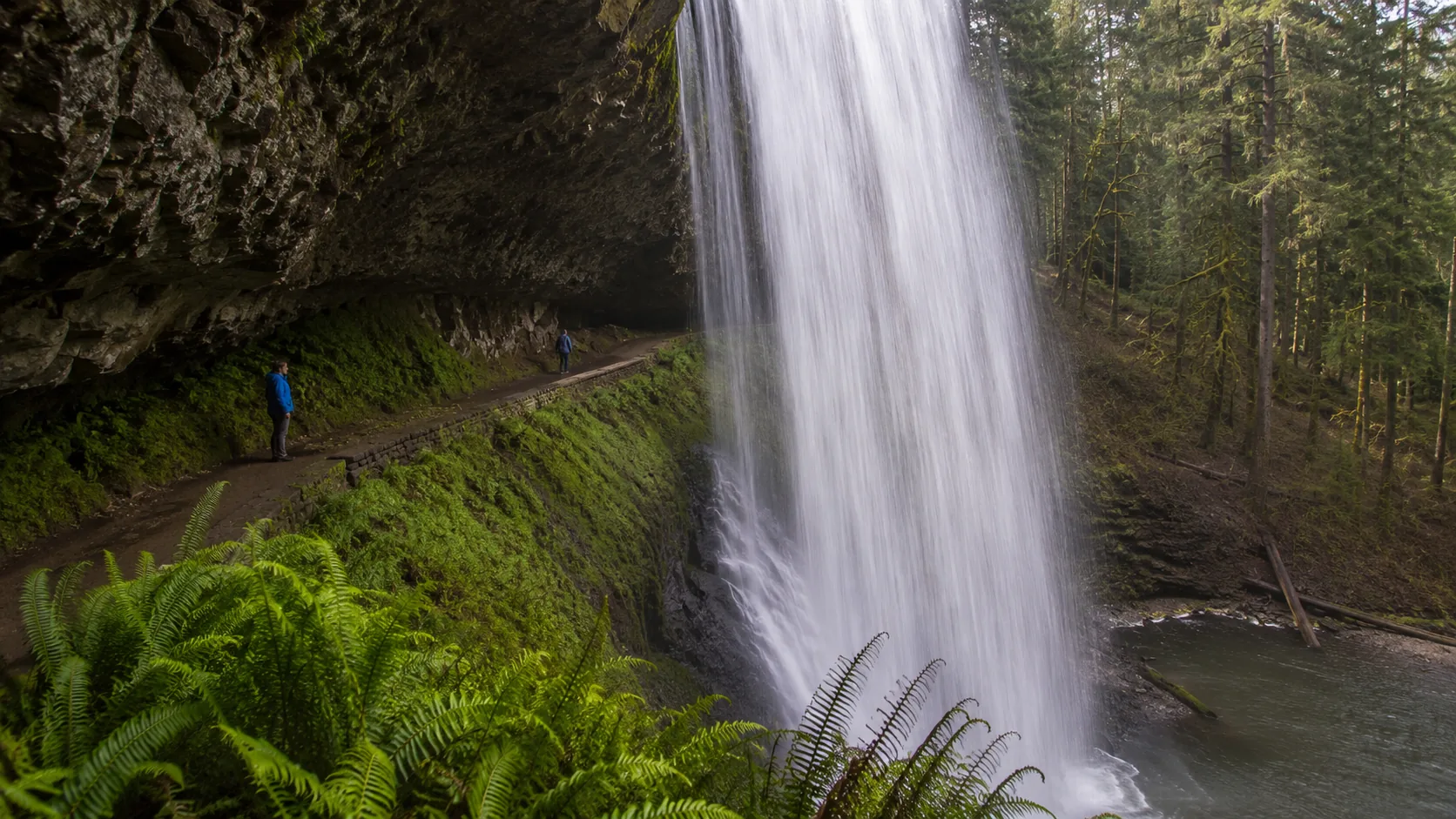
South Falls and the Trail of Ten Falls, Silver Falls State Park, Oregon. South Falls is the postcard, a 177 ft (54 m) curtain with the trail passing behind the water, and the full Trail of Ten Falls is a moderate 7.2 mi (11.6 km) loop with 800 ft (244 m) of elevation change, four of its falls walkable-behind. Two pet facts the park states plainly: dogs are not allowed on the Canyon Trail and its connections, while Upper North Falls, a 65 ft (20 m) cascade on its own short trail, is the pet-friendly one where leashed dogs can swim. The park's North Rim Trail, one mile of compacted surface 6-plus feet wide, is its highly accessible option. Hikers based in Seattle have a whole set of falls within day range, mapped in our waterfall hikes near Seattle guide.
How to Choose Yours
Height is not difficulty. Bridalveil drops 620 ft and asks for a half-mile paved stroll; Ramsey Cascades publishes no height at all and asks for 8 miles and 2,100 ft of climbing. Read the trail numbers, not the fall's.
Snowmelt runs the calendar. Yosemite Falls dries by late summer while Bridalveil flows year-round, both per the NPS; Michigan's little Bridalveil Falls thins to a trickle in dry summers; Rainier's Ohanapecosh runs full in spring. If the waterfall is the point of the trip, spring is usually your season, and the park's own site is the only source worth trusting for this week's reality.
Accessibility is real and published. Gibbon Falls' viewpoint is wheelchair accessible, Brandywine has its boardwalk, Bridalveil its platform, Oregon's North Rim Trail its wide compacted mile. Crowds are the hidden cost: 200,000 visitors a year share four Smokies trails, so the famous name is often the worst experience. And safety is not decoration: Shenandoah's warning is blunt, never walk around on top of a waterfall, wet rocks are slippery and there have been serious and fatal injuries, while the Smokies advise against water recreation entirely. Waterfalls are for looking up at.
Big ranges are not a requirement, either: even far from the famous chains there are real falls to hike, our waterfall hikes near Dallas guide is the proof.
Share the Whole Trip, Not Ten Links
One VisuLink holds your trail photos, your hike log and everything else you share.
FAQ
What is the best waterfall hike in the US?
It depends on what "best" means to you. For sheer scale with an easy walk, Yosemite's Bridalveil Fall (620 ft, half-mile paved trail). For a gorge experience, Watkins Glen's 19 falls in one mile. For an earned summit-of-effort, Ramsey Cascades: 8 miles and 2,100 ft of gain to the Smokies' tallest.
When is the best time of year for waterfall hikes?
Late spring, for most snowmelt-fed falls: the NPS reports Yosemite Falls peaking then at some 2,400 gallons per second and frequently drying by late summer. Year-round exceptions exist, Bridalveil in Yosemite flows in every season, so check the specific fall's park page.
Are any of these waterfall hikes wheelchair accessible?
Several, per the parks themselves: Gibbon Falls' viewpoint in Yellowstone, Brandywine Falls' partially accessible boardwalk in Ohio, Bridalveil Fall's viewing platform in Yosemite, and Silver Falls State Park's North Rim Trail in Oregon, a mile of compacted surface over 6 feet wide.
Can I bring my dog on these trails?
It varies by trail, not by park, so check each one. In Shenandoah, Dark Hollow prohibits pets while Jones Run and Doyles River allow them leashed; in Oregon's Silver Falls, dogs are banned from the Canyon Trail but welcome at Upper North Falls; Yosemite's Bridalveil path allows leashed dogs.
Is it safe to swim at the base of a waterfall?
The parks say no more often than yes: Great Smoky Mountains advises against water recreation in the park, and Shenandoah warns bluntly that walking on top of falls has caused serious and fatal injuries. Treat falls as something to look at, and take the park's word over the postcard's.